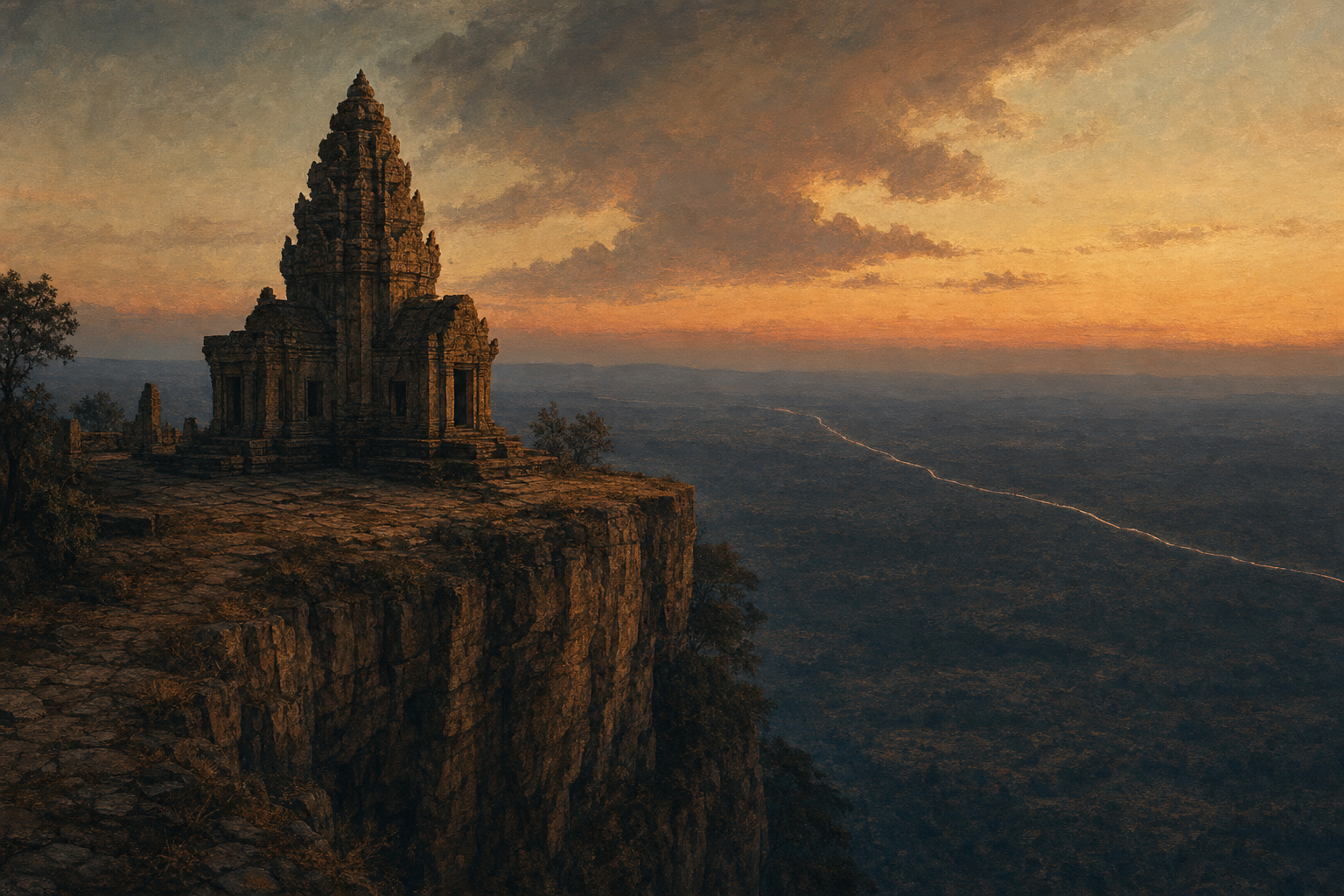
High on the Dangrek escarpment, where the Cambodian plain falls away in a sheer cliff, stands an eleventh century Khmer temple called Preah Vihear. For most of a thousand years almost no one fought over it. Then, in the summer of 2025, the armies of Thailand and Cambodia opened fire across that cliff, and within five days more than a dozen people were dead and hundreds of thousands had fled their homes. They were fighting over a line on a map drawn by a tired French surveyor in 1907, and over something a Siamese king never said.
Go back to the beginning. In 1904, the Kingdom of Siam and the French, who ruled Cambodia as part of their Indochinese empire, signed a treaty to settle their border. In the Dangrek mountains, they agreed, the frontier would follow the watershed, the natural line where the rainfall divides and runs to one side or the other. By that rule, Preah Vihear, perched on the northern lip of the cliff, should almost certainly have fallen on the Siamese side.
But treaties draw principles. Maps draw lines. And the lines were drawn by French officers.
In 1907 a French survey team produced the official maps and sent them to Bangkok the following year. On the sheet covering the Dangrek range, the boundary did not follow the true watershed. It bulged north, around the temple, placing Preah Vihear neatly inside French Cambodia. Whether this was an honest error or a quiet act of empire, no one can now say for certain.
Here is the thing that decided everything. Siam said nothing.
The Siamese government received the maps. Its officials thanked the French for them. They asked for more copies. They hung them in their offices and used them as the authoritative picture of their own kingdom. The Siamese prince who led their own boundary work raised no objection. Year after year, decade after decade, Bangkok stayed silent about the bulge that had swallowed the temple. The silence ran on for half a century.
Then the empire dissolved. Cambodia became independent in 1953, and almost at once the old line became a live wound. Thai forces moved up to the temple and occupied it. Cambodia protested, got nowhere, and in 1959 did something small countries rarely dared to do. It took its giant neighbour to court, to the International Court of Justice at The Hague, and asked the judges to say who owned Preah Vihear.
Thailand had a strong card. It argued, with real justice, that the true watershed ran the other way, that the temple sat on the Thai side of the natural divide, and that the 1907 map was simply wrong. It was probably right about the geography.
It did not matter.
On the fifteenth of June, 1962, the Court ruled nine votes to three for Cambodia. And the reasoning was not really about mountains or rainfall at all. It was about the silence. Siam, the judges said, had received the map, had used it, had accepted its benefits, and for fifty years had never once objected. In law there is an old principle: he who stays silent, when he had every chance and every reason to speak, is taken to have agreed. Thailand's half century of saying nothing had become, in the eyes of the law, a yes. The map was wrong, and the map won, because no one had argued with it in time. The temple was Cambodian.
Thailand withdrew its soldiers, furious, and the wound never truly closed.
It reopened in 2008, when Cambodia had Preah Vihear listed as a UNESCO World Heritage site. Thai nationalists erupted, troops massed at the cliff again, and between 2008 and 2011 the two armies fought intermittent gun battles around the temple, killing dozens and displacing tens of thousands. Cambodia went back to The Hague, and in 2013 the Court reaffirmed its old judgment and extended it to the whole rocky promontory the temple stands on.
And then, in 2025, it became a real war. A clash in the disputed borderlands in the spring killed a soldier. By July the two nations were trading artillery and rockets along the frontier. In five days of fighting at least a dozen people were killed and several hundred thousand civilians fled, many of them from Preah Vihear province itself. The border crossings slammed shut. A ceasefire was signed at the very end of December 2025, and within days each side was accusing the other of breaking it. Through 2026 the frontier has stayed sealed and tense, two modern states with modern weapons, still fighting along a line that a colonial surveyor sketched and a king failed to dispute.
This is what a border actually is. Not a fact of nature, not a thing carved into the earth, but a claim that hardened because someone, at the crucial moment, did not push back. The watershed never moved. The rain still falls off that cliff exactly as it always did. What moved was the line, and the line held because of a silence in Bangkok a hundred and twenty years ago.
There are borders like this all over the world, drawn fast and carelessly by empires in a hurry, accepted in the moment because objecting seemed like too much trouble, and lethal a century later when the empire is gone and only the line remains. The men who drew them are long dead. The map outlived them all.
The most expensive thing a country ever said, it turns out, can be nothing at all.